Submitted by Jon Reed on
With summer just around the corner many people will be spending a great deal more time outdoors, enjoying the pleasant weather at the beach, on the water, hiking in the mountains and what have you. Nothing can put a damper on these activities like sudden thunderstorms, which pop up with much greater frequency in the warmer weather. While you can get a basic idea of the day's forecast with your iPhone's Weather app, a "chance of showers" or "scattered thunderstorms" is not going to cut it if you are planning a day of fishing on a lake or hiking above the tree line - you need a radar app.
If you are serious about getting the most out of your time outdoors, you need to know exactly where those fronts are, what direction they are moving and how fast. There are plenty of radar apps available, most are free with a variety of extras through in-app purchases. Here are four that do the job just fine:
- MyRadar - MyRadar does just about everything you'd want for free. It has both classic and HD radar images overlayed on your choice of a gray map, a road map or an aerial view. The radar animation loops through either 60, 90 or 120 minutes at 5 or 10 minute intervals, giving you a clear picture of what direction and how fast storm systems are moving. There are many layers that you can add to your map including a forecast for your location, winds, cloud cover, warnings and watches, weather outlooks (storm and snow), photos (that other users post, and you can post your own as well), aviation data, earthquake data and wildfire locations. In-app purchases include removing ads (the ads are not very intrusive, just a banner at the bottom of the screen which is $2.99 to remove), a professional radar pack that gives access to NEXRAD Level II radar, enabling Apple Watch, Hurricane Tracker and Aviation Charts (which are a subscription).
- NOAA Weather Radar - The National Oceanic and Atmospheric Administration's app offers radar imagery that loops over the past hour, a forecast for your location, and warnings for thunderstorms, tornadoes, flood, marine, wind, fire, hurricane, winter storm and more. In addition to the radar imagery you can view satellite (for cloud cover), rain and snow depth overlays. Upgrading (which is a subscription rather than a one time payment) gets you a hurricane tracker, eliminates ads and allows you to receive warnings for saved locations.
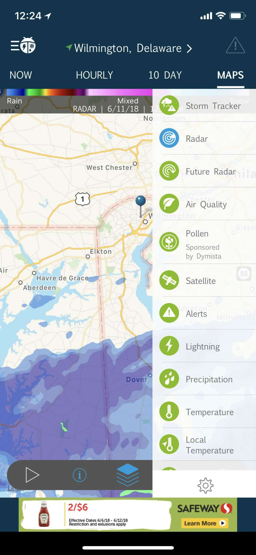
- WeatherBug - Aside from a radar loop of the past hour, WeatherBug's maps include a bunch of useful layers like lightning, precipitation, pollen, air quality, heat index, wind speed and more. It also provides links to nearby live cams and recently uploaded photos. A subscription will remove the ads, which aren't really that bothersome to begin with.
- The Weather Channel - This app has a radar forecast - it shows six hours ahead based on current available data. It also has other useful map layers including UV index, lightning, heat index, future snowfall and a "driving difficulty index." Aside from the radar and maps, this app has sections specifically for activities such as skiing, running and "boat & beach." The GoRun index takes into account temperature, humidity, precipitation and wind to give you a 1 - 10 index for current running conditions and hour by hour through the next day. The boat and beach section has tide, UV and wind data, while the ski section shows nearby skiing conditions.


