Submitted by Jon Reed on
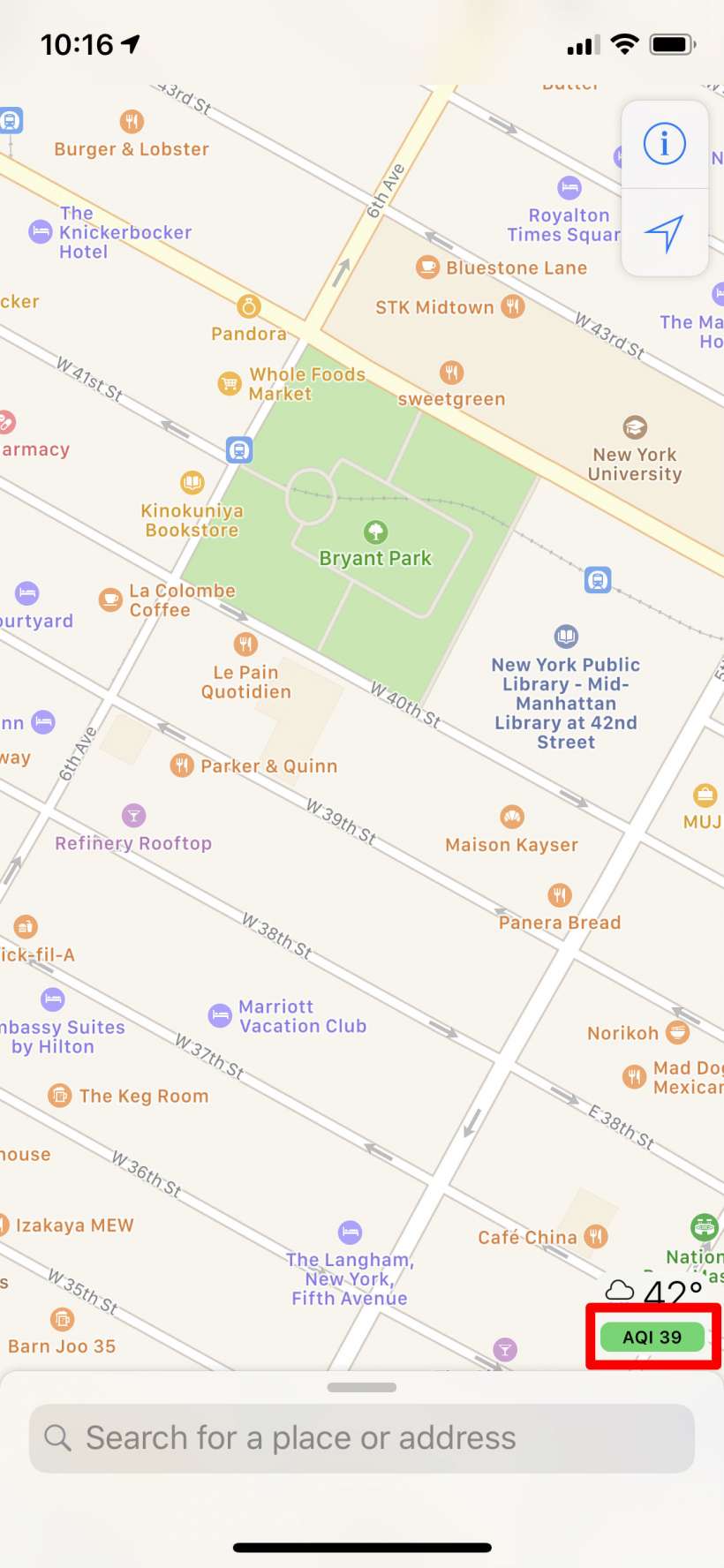
One of several new features in iOS 12.2 is the addition of the Air Quality Index to the Maps app. The AQI is a measurement of air quality that takes into account ground level ozone, particulates (which includes things like ash and pollen), carbon monoxide, sulfur dioxide and nitrogen dioxide. The effects of these pollutants on one's health, depending on the amount, can range from mild irritation for those who are more sensitive (those with asthma, active people like joggers) to downright hazardous for anyone to be breathing.
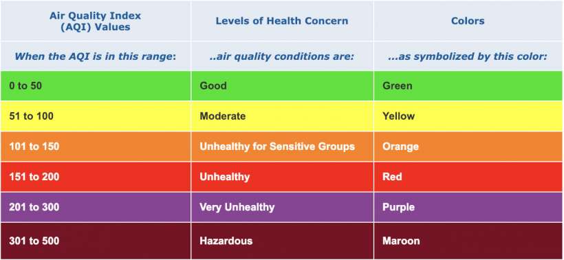
The scale ranges from 0 to 500 and is broken down into 6 color coded categories.

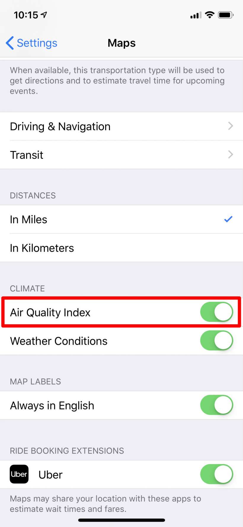
To see the Air Quality Index on Maps on your iPhone or iPad, it needs to be toggled on in Settings -> Maps. It should be on by default.


