Maps

How to report accidents, speed traps and other hazards in Maps for iPhone

How to report accidents, speed traps and other hazards in Maps for iPhone.

Waze has long been one of the most popular navigation apps for many drivers because it allows users to report accidents, hazards, police speed traps and other road conditions in real time, thereby sharing the information with other Wazers. In a pretty significant update with iOS 14.5, Apple Maps now lets its users do the same. It doesn't let you report to the same level of detail as Waze does, but you can report basic accidents, hazards and speed traps. Here's how:
How to use cycling directions in Apple Maps

How to use cycling / bicycle directions in Apple Maps on iPhone and iPad.

In addition to adding routing for electric vehicles in Apple Maps, Apple has finally added routing for cycling as well in its iOS 14 update. Whether you are a weekend cycling enthusiast or commute to work and run errands on your bike, the new feature should prove helpful. You can now map out a route and see the elevation change along the way before heading out. Here's how to do it on iPhone:

tags: 

How to use electric vehicle routing with Maps on iPhone

How to use electric vehicle routing with Maps on iPhone.

Running out of gas while on the road is obviously something nobody wants to do, and it is easily avoidable since gas stations are ubiquitous in most populated areas. The same cannot be said for charging stations for electric cars, as they are much fewer and farther between. iOS 14 has brought Maps up to speed by allowing it to communicate with electric vehicles, offering peace of mind to road trippers traveling in their Teslas, Bolts and LEAFs.

tags: 

How to measure distance in Apple Maps on iPhone

Apple Maps

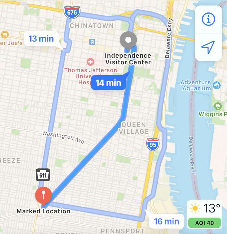
By default, Apple Maps gets directions from your current location, and delivers the distance to your destination. Measuring the distance between two places which are different than the current location takes a few more steps. By marking a location, then getting the route between points, Apple Maps can measure the route distance on the iPhone, iPad, or iPod touch. Travel time based on the mode of transportation chosen, as well as the distance in miles or kilometers is displayed.

How to add Favorites and create Collections in iPhone Maps

How to set favorite locations and make collections in Apple Maps on iPhone and iPad.

After a less-than-stellar debut, Apple has continued to improve upon its Maps app with each new iOS iteration, including iOS 13. In addition to adding the Look Around feature (equivalent to Google's Street View) and letting you automatically share your ETA, iOS 13 also tweaks the Favorites feature and adds a Collections feature which lets you create a list of locations that you can share.

Pages

Subscribe to RSS - Maps